If you’re pouring concrete on a slope in Northwest Arkansas, there’s a reason contractors get nervous: roughly 46 inches of annual rainfall meeting soils where clay-bearing pockets swell and shrink creates drainage failures fast. Here’s what separates slabs that last.
Sloped concrete work in Northwest Arkansas is not the same as flatwork on stable soil. Between the rainfall totals, the variable soil conditions, and the freeze-thaw cycles that hit every winter, contractors who treat slope drainage as an afterthought end up ripping out slabs they just poured. This guide walks through the specific conditions NW Arkansas contractors are dealing with and how to plan around them.
Northwest Arkansas averages approximately 46 inches of precipitation per year, and it does not arrive gently. Spring storm events can dump several inches in a matter of hours. On a sloped concrete surface, that volume of water has to go somewhere. If the pitch, pipe sizing, or surface grade is even slightly off, water pools, undermines the slab, and works through freeze-thaw cycles to crack the surface from below.
The soil underneath compounds the problem. Northwest Arkansas's residual soils, weathered from limestone, shale, and sandstone, vary significantly in depth and composition across a single property, and pockets of clay-bearing soil within that profile can absorb moisture and expand, then dry out and contract. On a sloped site, this swell-shrink action happens unevenly, creating differential movement. Concrete does not flex - it cracks. Once water finds a crack on a slope, erosion accelerates quickly. Effective storm drainage is critical in Northwest Arkansas to prevent erosion, flooding, and premature failure of paved surfaces, and it often requires more complex drainage system planning than contractors working in other regions are accustomed to.
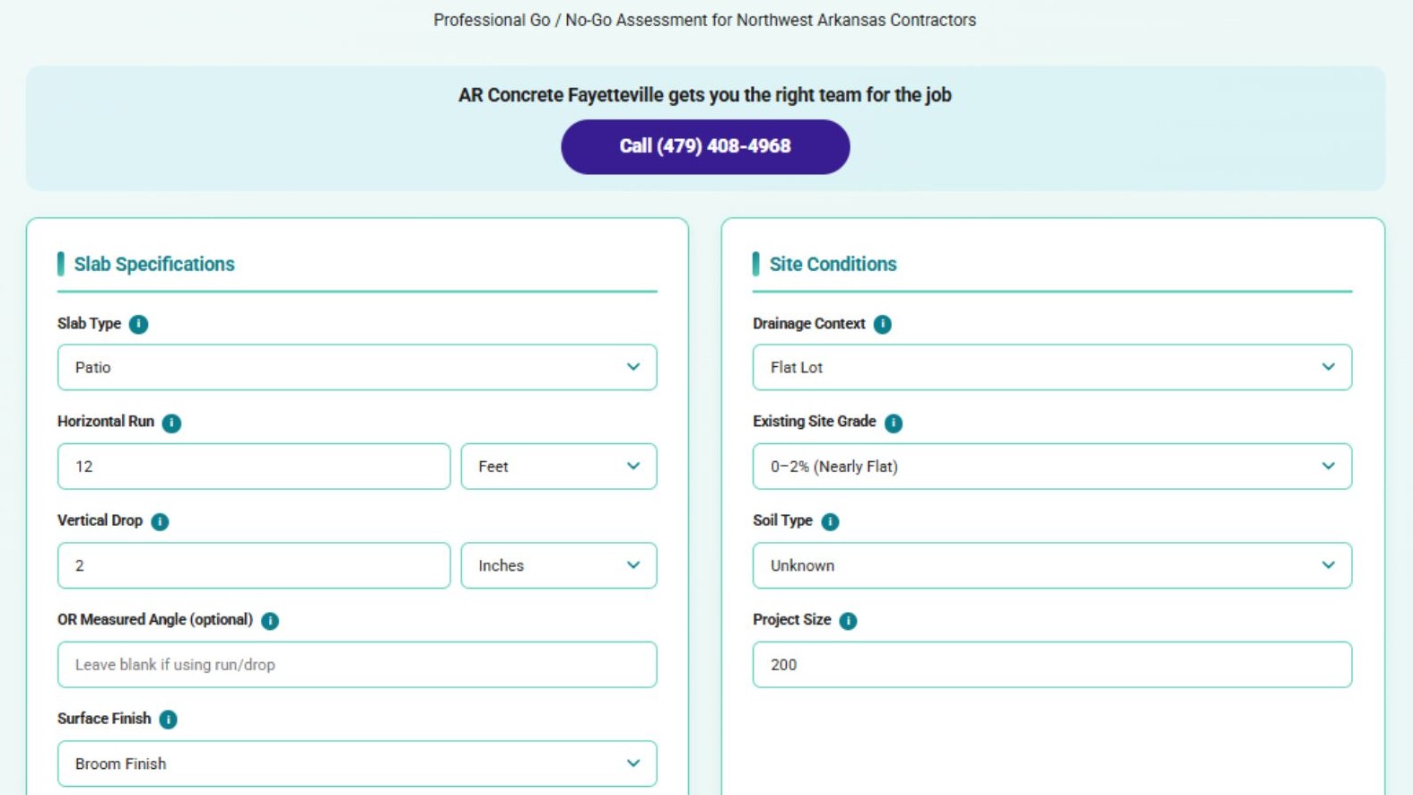
The Concrete Slope Drainage Calculator from AR Concrete Fayetteville is designed to remove guesswork from pre-pour planning on sloped sites. Rather than relying on rule-of-thumb estimates, contractors can run actual site inputs through the tool before committing to a design.
The calculator handles pitch calculations and runoff volume projections based on slope percentage and surface area. A contractor pouring a 1,200 square foot driveway on a 6% grade is managing a meaningfully different runoff load than the same pour on a 2% grade, even with identical rainfall. Getting the pitch calculation wrong by even half a percent can mean water is consistently directed toward a foundation instead of away from it.
Beyond surface drainage, the calculator incorporates pipe sizing estimates and freeze-thaw considerations - two variables that are easy to undersize in warmer climates but genuinely consequential in NW Arkansas. Undersized drain pipes back up during heavy rain events, and any standing water that enters a crack or joint before a freeze cycle expands by roughly 9%, which is enough to widen a hairline crack into a structural problem. Drainage slope calculators can verify drain pipe slopes against International Plumbing Code minimums for various pipe sizes, and that input-specific approach is what the AR Concrete calculator applies to slope work.
The International Residential Code recommends a minimum 2% slope - roughly one quarter inch of drop per foot - for impervious surfaces within 10 feet of a building foundation. Most experienced contractors know this. The problem is executing it consistently across real terrain, where subgrade elevation shifts, formwork settles unevenly, and crews are managing a stiff low-slump mix that does not self-level.
Contractors sometimes default to whatever slope feels easiest given form conditions, but the IRC's 2% minimum remains the governing standard for surfaces near foundations regardless of finishing convenience. On sites with clay-bearing soil pockets and heavy rainfall, contractors should target the higher end of acceptable slope ranges and verify grade with a level at multiple points across the form before the pour begins. A calculation error that seems trivial on paper can mean the difference between a slab that sheds water cleanly and one that holds it against a wall for days after every rainstorm.
Water pooling on a concrete slab is bad anywhere. In Northwest Arkansas it is worse, because the soil beneath the slab is often primed to react to that moisture.
Benton County properties with clay-bearing soil pockets can experience significant concrete slab movement and cracking as that clay swells with moisture and contracts as it dries. This is not a one-time event. It happens repeatedly across seasons, and on a sloped site where drainage is not precisely managed, the same area of soil may go through multiple swell-shrink cycles in a single wet season. Where present, expansive clay soils generate forces capable of cracking and shifting concrete slabs, and those forces compound when the slope is directing water toward problem zones rather than away from them.
Amending the top layer of soil is sometimes insufficient. Where building officials determine that expansive clay conditions are present, geotechnical investigations and specialized foundation approaches may be required under the International Residential Code as adopted in Arkansas. When contractors encounter sites where the clay layer is deep or highly active, removing 12-24 inches of existing soil and replacing it with non-expansive fill such as crushed limestone is often the more reliable path. This adds cost upfront but eliminates the variable that causes most long-term drainage failures on sloped NW Arkansas sites.
Drainage design keeps water moving correctly. The concrete mix itself determines whether the slab can survive the conditions it is placed in. For slope work, a lower slump prevents the mixture from flowing downhill before it sets - a practical problem that ruins pours when the wrong mix is ordered. Water-reducing admixtures can help maintain workability without sacrificing strength.
For mild slopes around 5%, a 3-inch slump is workable. Steeper grades call for 1-2 inch slump. Each additional inch of slump added through water reduces compressive strength by approximately 500 psi. Stiffer mixes require more labor to place and finish, but that tradeoff protects the long-term integrity of the slab. On a sloped NW Arkansas site that will see repeated freeze-thaw cycles per year and heavy spring rainfall, that strength margin matters.
Drainage projects in Northwest Arkansas frequently require permits, and the specific rules are not uniform. Fayetteville, Benton County, Rogers, and Washington County each carry their own regulations covering floodplain development, grading, and stormwater management. A drainage approach that meets Fayetteville's requirements may not satisfy Rogers's, and assumptions carried from one project to the next can create costly compliance problems mid-build. Where building officials identify expansive clay conditions, soil investigation may become a regulatory requirement, not just a construction consideration. Contractors who skip the permit research early often find themselves retrofitting drainage systems or pulling after-the-fact permits, both of which cut into margin.
Drainage failure on sloped concrete is rarely the result of a single catastrophic mistake. Several small miscalculations compound over time - a pitch that is slightly off, a pipe that is undersized, a soil condition that was not accounted for - until the slab cracks, shifts, or floods a foundation.
Running site inputs through a purpose-built tool before formwork goes up catches those mismatches early, when they are cheap to fix. The AR Concrete Fayetteville Concrete Slope Drainage Calculator is built around the specific variables NW Arkansas contractors are working with, including rainfall volumes, variable soil behavior, freeze-thaw cycles, and jurisdiction-specific conditions. It is a planning step, not a substitute for field judgment, but it is the kind of step that separates jobs that hold up from jobs that come back as callbacks.
For concrete slab installation across Fayetteville, Bentonville, Rogers, Springdale, and surrounding communities, AR Concrete Fayetteville connects contractors and property owners with vetted concrete professionals who understand what NW Arkansas conditions demand.


